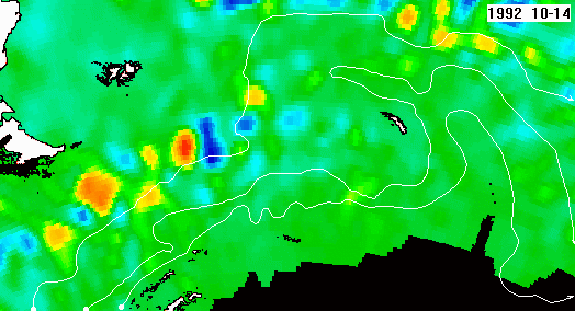
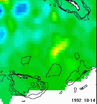
Sea Level Anomalies in Scotia Sea
Weekly maps of Sea Level Anomaly (SLA) merged from TOPEX/POSEIDON, Jason and ERS-1/2 created by SSALTO/DUACS as part of the Environment and Climate EU Enact project (EVK2-CT2001-00117) and distributed by AVISO, with support from CNES
Data are available from
ftp://ftpsedr.cls.fr/pub/oceano/AVISO/SSH/duacs/global/dt/upd/msla/merged/h/
Processing details described in
http://wimsoft.com/Exercises_Altimetry.pdf
1992-2000
Zoomed King George Is. to S Orkney
Isobaths shown at 500, 1000 and 2000 m
2001-2006
Zoomed S Orkney to S Georgia